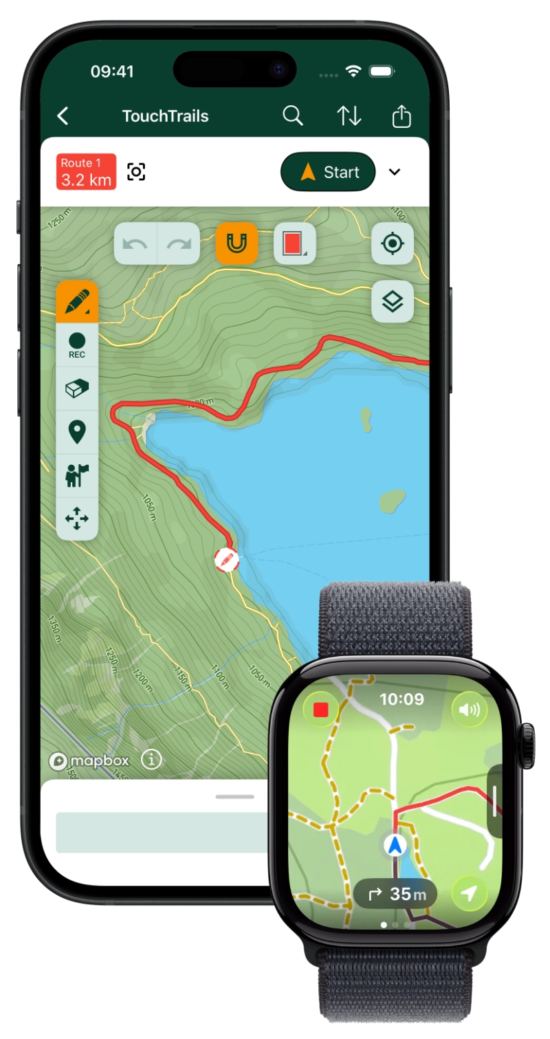
Custom routes for your next outdoor adventure — on your phone and Apple Watch.
Plan your own adventures. Draw custom routes on the map with your finger, preview them in 3D, and check elevation profiles before you head out.
Then take them anywhere — voice-guided navigation on your phone, fully offline on your Apple Watch. Import and export GPX, save unlimited routes, and explore on your terms.
Built for hiking, running, cycling, and multi-day adventures.
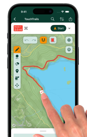
Draw Custom Routes
Plan any route — straight on the map, with your finger.
Snaps to roads and trails automatically.
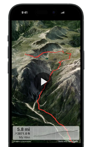
3D Fly-Through
Preview every climb and descent before you go.
Share it with friends to plan together.
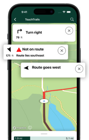
Voice Navigation
Turn-by-turn voice prompts keep you on course.
TouchTrails warns you the moment you leave the route.
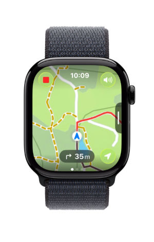
Apple Watch
Leave your iPhone behind.
Navigate fully offline from your wrist.
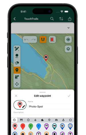
Pin Anything
Mark photo spots, viewpoints, refills, campsites.
Pick from 100+ symbols and add notes.
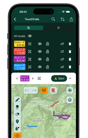
Combine Any Routes
Import GPX files from anywhere.
Merge, edit, and stitch them into one perfect route.