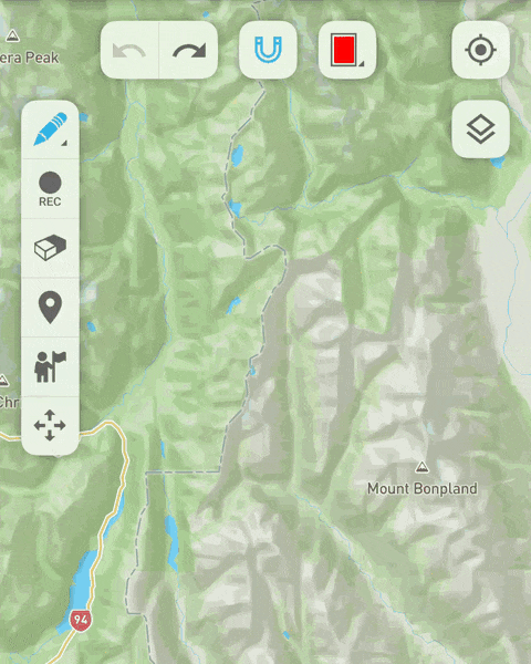
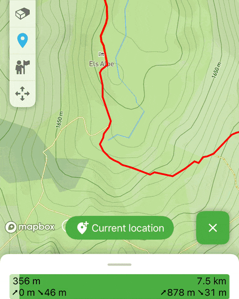
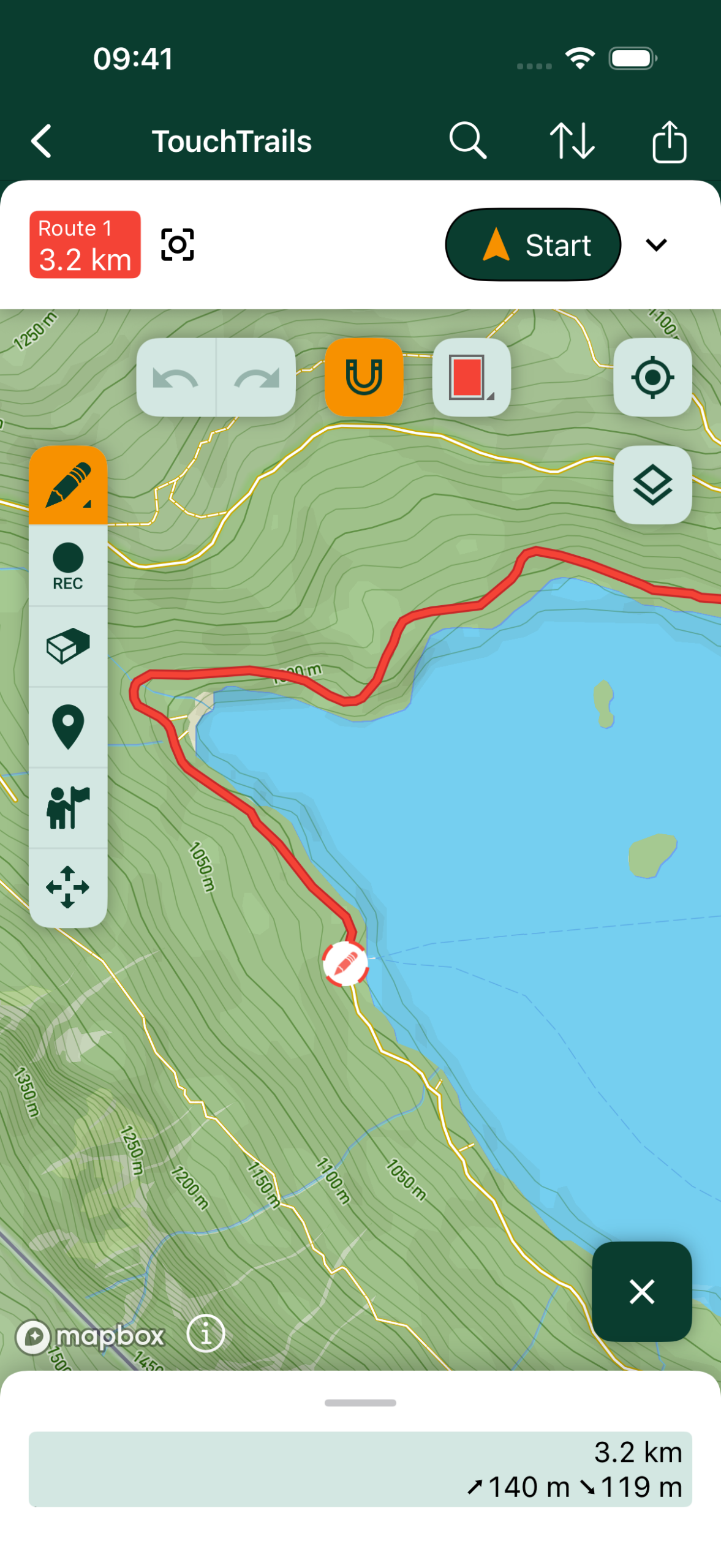
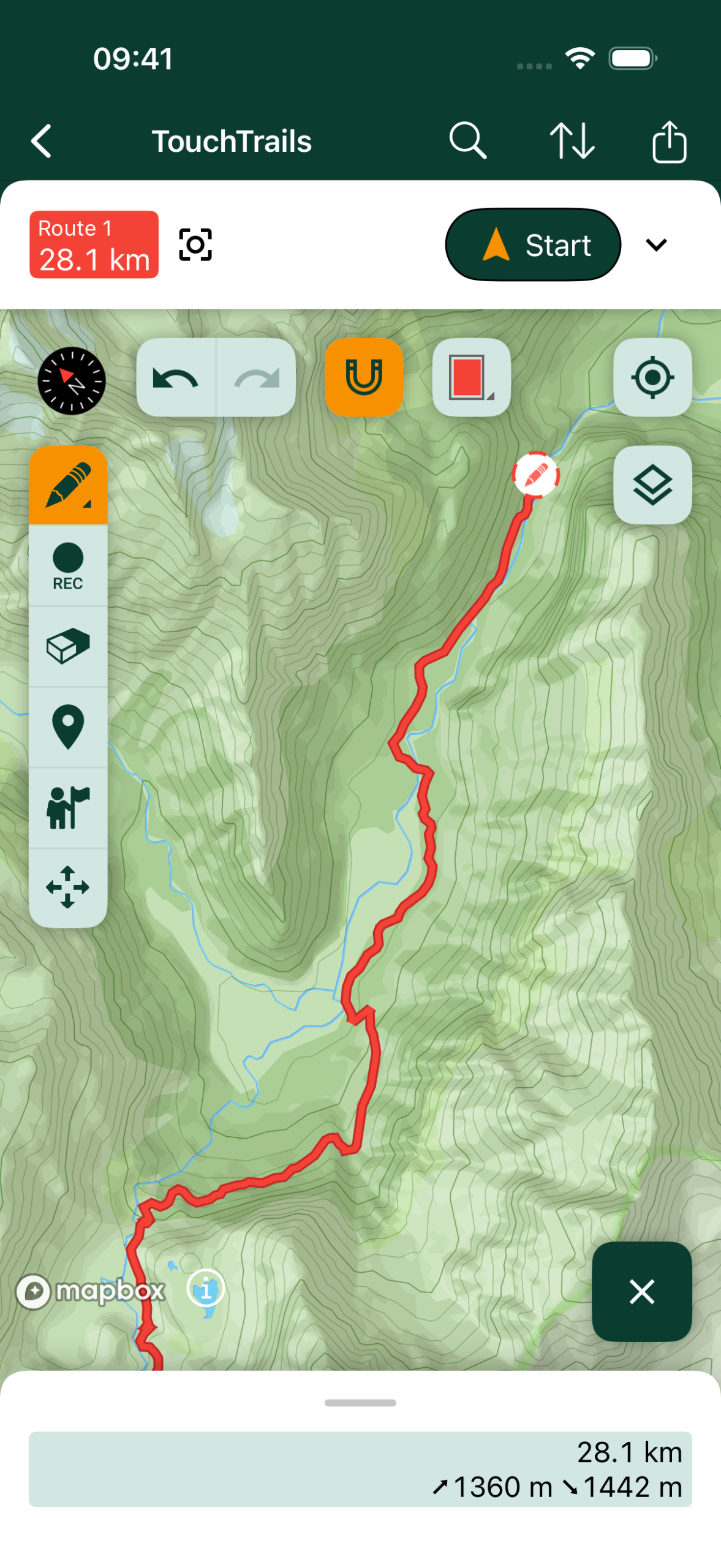
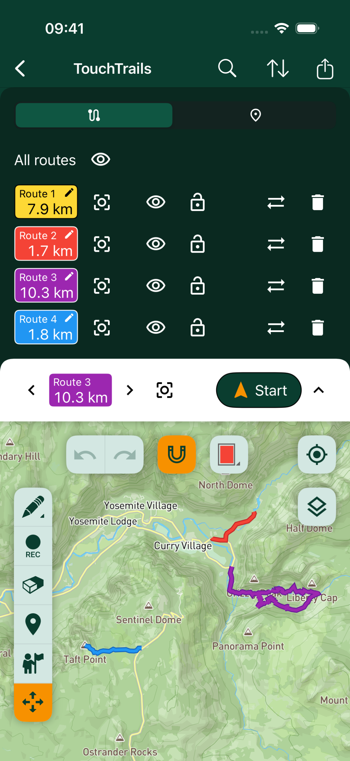
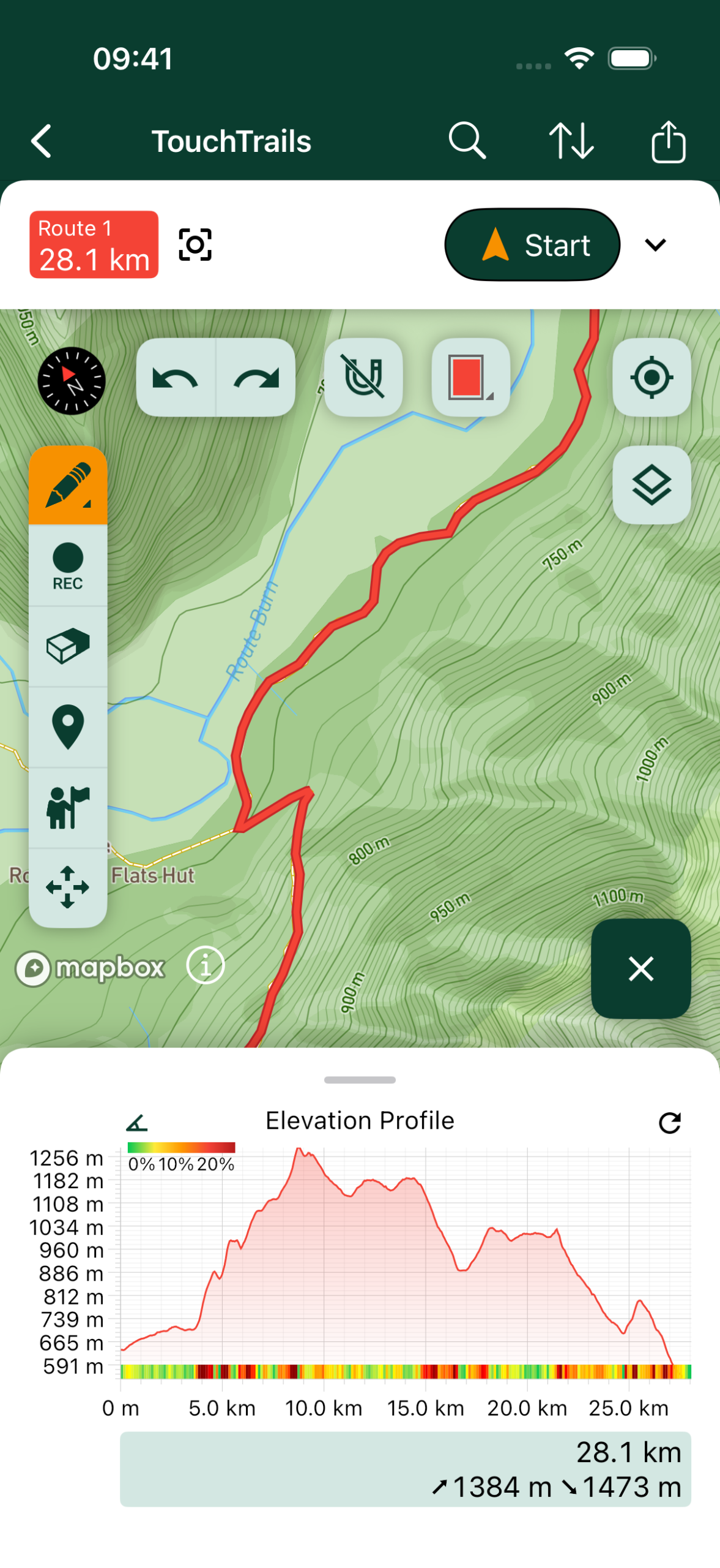
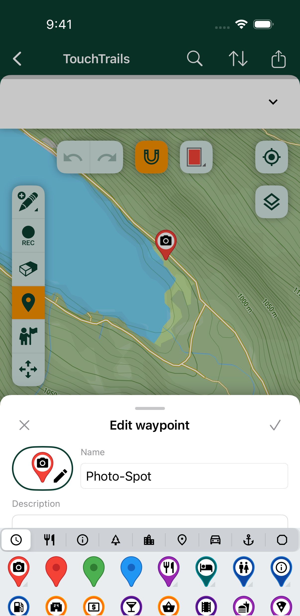
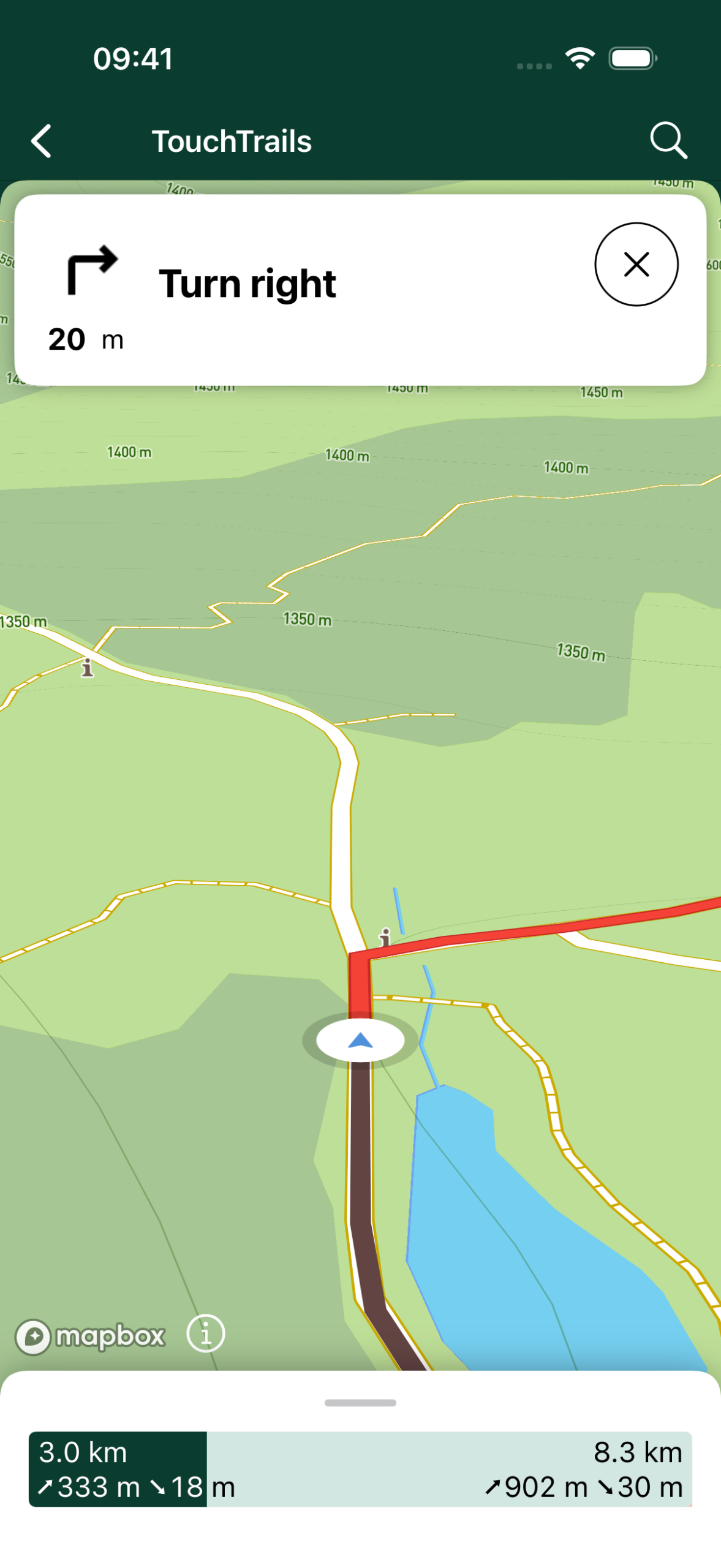
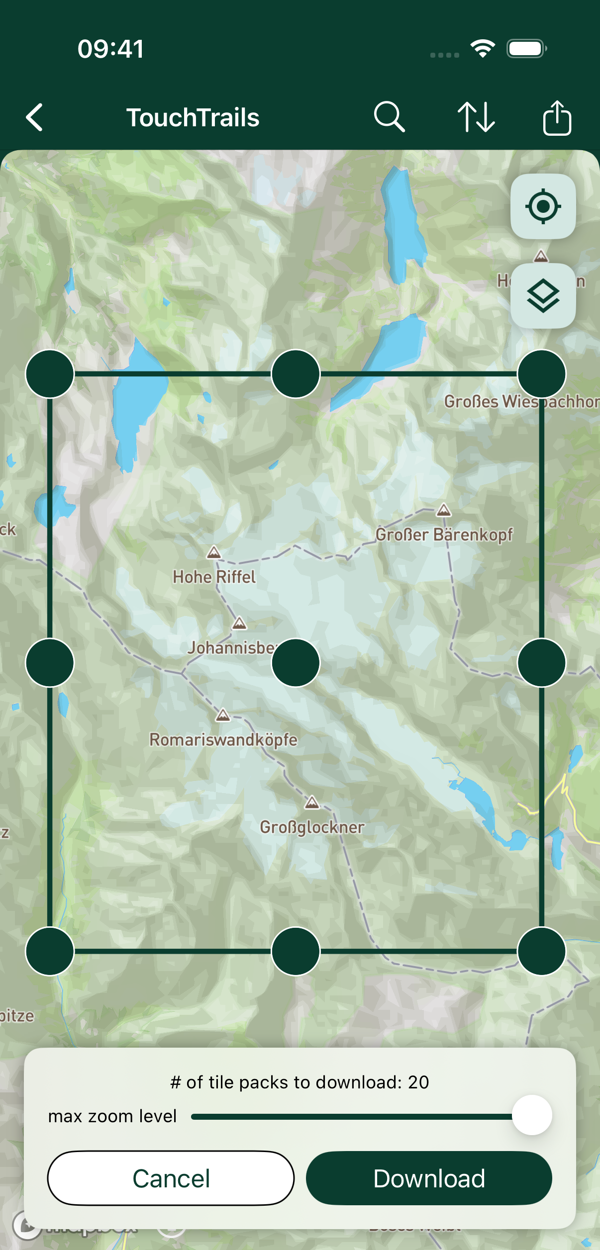
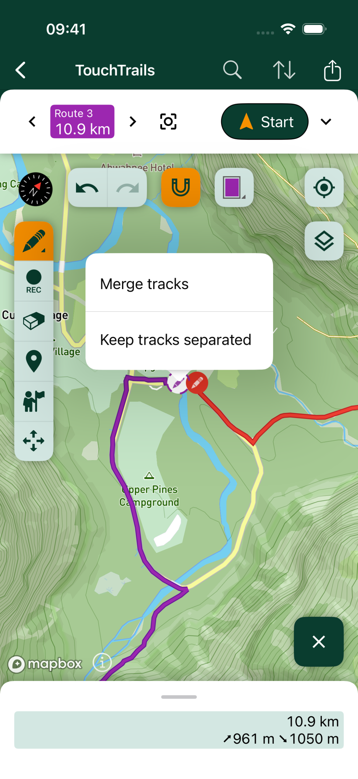
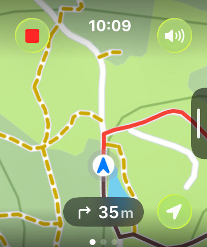
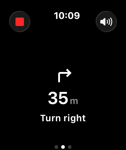
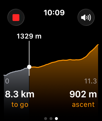
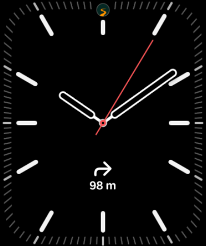
TouchTrails is a route planner that lets you create routes simply by drawing on the map with your finger. It combines intuitive planning, GPX editing and navigation for hikers, cyclists, runners, and outdoor enthusiasts. Available on Android and iOS, with a fully offline Apple Watch app that provides turn-by-turn navigation directly from your wrist.
Originally launched as Sketch a Track, the app secured 2nd place in the Samsung Smart App Challenge for Note 2013, earning a $100,000 prize. Since then, it has continuously evolved with new features and improvements, becoming a versatile tool for outdoor adventures.
2nd place in the Samsung Smart App Challenge for Note 2013, earning a $100,000 prize.
About the Developer
TouchTrails was developed by Wolfgang Knecht, an independent app developer based in Austria. With a background in mobile development and a passion for outdoor activities, Wolfgang created TouchTrails to provide a user-friendly tool for planning and navigating outdoor routes.